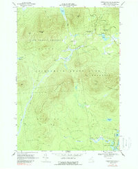
1968 Map of Debar Mountain
USGS Topo · Published 1988About this map
Adirondack State Park lands define this high-country landscape in Franklin County, as documented during a 1965 photogrammetric survey and 1968 field check. The area is characterized by heavy forest cover and significant topographic relief, anchored by the Loon Lake Mountains and the summit of Debar Mtn. Water drainage is complex, with Hatch Brook and Alder Brook cutting through the terrain, while the southern portion of the sheet features the North Branch Saranac River and Kushaqua Mud Pond.
Find a feature on this map
29 named features on this map. Tap any name to fly to it.
Don’t see what you’re looking for? This feature index may not catch every label — zoom into the map to look around manually.
Map Details
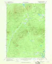
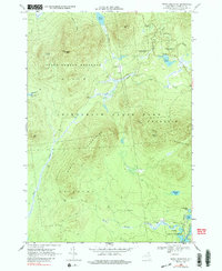
Editions of this 1968 Debar Mountain Map
3 editions found
Other maps of this area

1902 · Saranac
USGS Topo · 1:62,500

1904 · Saranac
USGS Topo · 1:62,500

1905 · Saint Regis
USGS Topo · 1:62,500

1906 · Loon Lake
USGS Topo · 1:62,500

1908 · Loon Lake
USGS Topo · 1:62,500

1921 · Santa Clara
USGS Topo · 1:62,500

1923 · Santa Clara
USGS Topo · 1:62,500

1948 · Ogdensburg
USGS Topo · 1:250,000

1951 · Ogdensburg
USGS Topo · 1:250,000

1953 · Ogdensburg
USGS Topo · 1:250,000