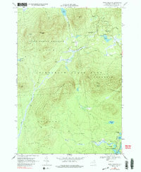
1968 Map of Debar Mountain
USGS Topo · Published 1988About this map
Adirondack State Park dominates this terrain, revealing a landscape defined by its high peaks and extensive water systems in the late 1960s. The topographic detail centers on the Sable Mountains and Loon Lake Mountains, where a lookout tower sits atop Debar Mtn. This area is largely a protected wilderness within the State Forest Preserve, though human imprints are visible in the form of a jeep trail and the Old RR Grade winding through the southeastern corner near Hope Pond.
Find a feature on this map
27 named features on this map. Tap any name to fly to it.
Don’t see what you’re looking for? This feature index may not catch every label — zoom into the map to look around manually.
Map Details
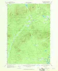
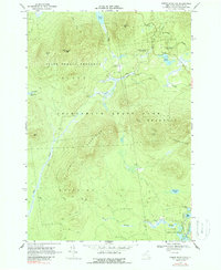
Editions of this 1968 Debar Mountain Map
3 editions found
Other maps of this area

1902 · Saranac
USGS Topo · 1:62,500

1904 · Saranac
USGS Topo · 1:62,500

1905 · Saint Regis
USGS Topo · 1:62,500

1906 · Loon Lake
USGS Topo · 1:62,500

1908 · Loon Lake
USGS Topo · 1:62,500

1921 · Santa Clara
USGS Topo · 1:62,500

1923 · Santa Clara
USGS Topo · 1:62,500

1948 · Ogdensburg
USGS Topo · 1:250,000

1951 · Ogdensburg
USGS Topo · 1:250,000

1953 · Ogdensburg
USGS Topo · 1:250,000