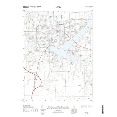
2018 Map of Decatur
USGS Topo · Published 2018About this map
Decatur and its surrounding communities are defined by the winding course of the Sangamon River and the broad waters of Lake Decatur. This 2018 survey documents the city's mature infrastructure, from the extensive campus of Millikin Univ to the industrial corridors served by the Illinois Central RR and Norfolk Southern RR. The map provides significant detail for genealogical research, identifying numerous burial grounds including Graceland Cem, Greenwood Cem, and Fairlawn Cem.
Find a feature on this map
252 named features on this map. Tap any name to fly to it.
Don’t see what you’re looking for? This feature index may not catch every label — zoom into the map to look around manually.
Map Details
Editions of this 2018 Decatur Map
This is the sole edition of this map. No revisions or reprints were ever made.
Other maps of this area

1929 · Decatur
USGS Topo · 1:62,500

1933 · Decatur
USGS Topo · 1:62,500

1949 · Dalton City
USGS Topo · 1:62,500

1952 · Assumption
USGS Topo · 1:62,500

1954 · Niantic
USGS Topo · 1:62,500

1958 · Decatur
USGS Topo · 1:250,000

1961 · Decatur
USGS Topo · 1:250,000

1967 · Long Creek
USGS Topo · 1:24,000
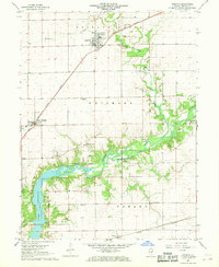
1967 · Argenta
USGS Topo · 1:24,000

1967 · Decatur
USGS Topo · 1:24,000