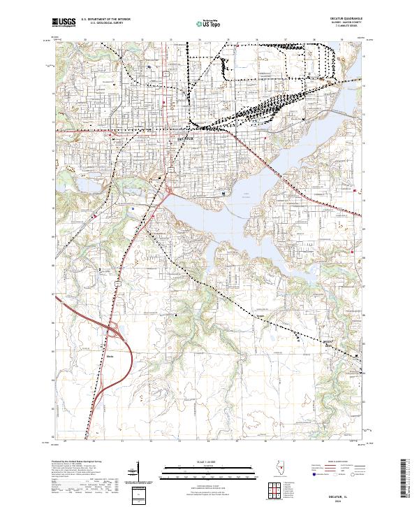
2024 Map of Decatur
USGS Topo · Published 2024About this map
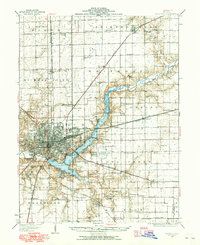
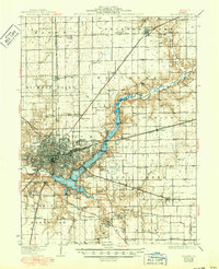
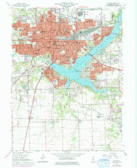
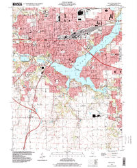
Decatur is defined by the expansive waters of Lake Decatur and the industrial presence of A E Staley, which sits adjacent to the Cooling Lake. This central Illinois city serves as the seat of local government, with the Macon County Courthouse anchoring the downtown grid. To the west, the campus of Millikin University provides a prominent cultural landmark, while a significant network of cemeteries, including Greenwood Cem, Graceland Cem, and Fairlawn Cem, offers a detailed record of the region's genealogy.
Find a feature on this map
237 named features on this map. Tap any name to fly to it.
Don’t see what you’re looking for? This feature index may not catch every label — zoom into the map to look around manually.
Map Details
Editions of this 2024 Decatur Map
This is the sole edition of this map. No revisions or reprints were ever made.
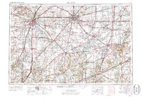
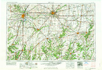
Historical Maps of Elwin Through Time
8 maps found