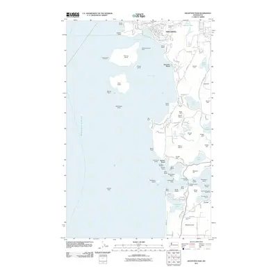
2011 Map of Deception Pass
USGS Topo · Published 2011About this map
Burrows Island Lighthouse stands as a sentinel over Rosario Strait and Allan Pass, marking a maritime landscape where Fidalgo Island meets the complex currents of the Salish Sea. This early 21st-century study reveals a coastline defined by rocky headlands like Biz Point and Sares Head, while the interior of Fidalgo Island shows the industrial footprints of the Anacortes Quarry and the Lake Erie Pit. The southern portion of the sheet is anchored by the engineering of the Deception Pass Bridge, connecting to Whidbey Island across Canoe Pass and the famous narrows. To the north, the growth of Anacortes is evident near Anaco Beach and the Skyline Seaplane Base, illustrating the area's transition from traditional resource extraction and lighthouse service to a hub for aviation and recreation near Deception Pass State Park Marina.
Find a feature on this map
96 named features on this map. Tap any name to fly to it.
Don’t see what you’re looking for? This feature index may not catch every label — zoom into the map to look around manually.
Map Details
Editions of this 2011 Deception Pass Map
This is the sole edition of this map. No revisions or reprints were ever made.
Other maps of this area

1943 · Richardson
USGS Topo · 1:62,500

1943 · Orcas Island
USGS Topo · 1:62,500

1943 · Deception Pass
USGS Topo · 1:62,500

1943 · Anacortes
USGS Topo · 1:62,500

1951 · Deception Pass
USGS Topo · 1:62,500

1951 · Anacortes
USGS Topo · 1:62,500

1957 · Richardson
USGS Topo · 1:62,500

1957 · Orcas Island
USGS Topo · 1:62,500

1957 · Victoria
USGS Topo · 1:250,000

1973 · Cypress Island
USGS Topo · 1:24,000