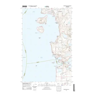
2014 Map of Deception Pass
USGS Topo · Published 2014About this map
Anacortes and the surrounding islands define this coastal landscape at the entrance to Puget Sound. The intricate shoreline of Fidalgo Island is marked by significant maritime landmarks, notably the Burrows Island Lighthouse and the iconic Deception Pass Bridge spanning the narrow gap between islands. This survey captures a highly developed recreational and transit network, featuring the Pacific NW National Scenic Trail winding through Deception Pass State Park and residential areas like Anaco Beach and Alexander Beach.
Find a feature on this map
104 named features on this map. Tap any name to fly to it.
Don’t see what you’re looking for? This feature index may not catch every label — zoom into the map to look around manually.
Map Details
Editions of this 2014 Deception Pass Map
This is the sole edition of this map. No revisions or reprints were ever made.
Other maps of this area

1943 · Richardson
USGS Topo · 1:62,500

1943 · Orcas Island
USGS Topo · 1:62,500

1943 · Deception Pass
USGS Topo · 1:62,500

1943 · Anacortes
USGS Topo · 1:62,500

1951 · Deception Pass
USGS Topo · 1:62,500

1951 · Anacortes
USGS Topo · 1:62,500

1957 · Richardson
USGS Topo · 1:62,500

1957 · Orcas Island
USGS Topo · 1:62,500

1957 · Victoria
USGS Topo · 1:250,000

1973 · Cypress Island
USGS Topo · 1:24,000