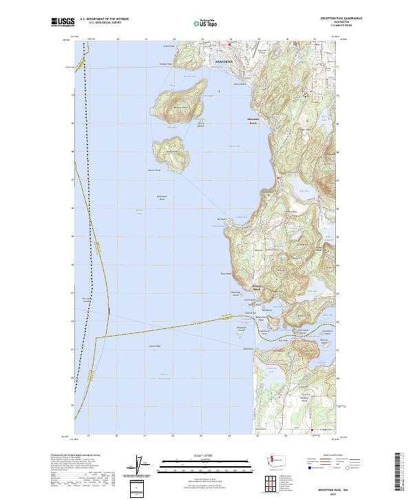
2023 Map of Deception Pass
USGS Topo · Published 2023About this map
Fidalgo Island dominates the topography of this modern survey, defined by its complex shoreline where the Rosario Strait meets the Strait of Juan de Fuca. The northern reach includes the outskirts of Anacortes and the Anacortes Airport, while the coast is dotted with residential enclaves such as Anaco Beach and Alexander Beach. The interior of the island is notable for its numerous freshwater bodies, including Heart Lake, Lake Erie, and Lake Campbell, positioned near the heights of Sugarloaf and Mt Erie.
Find a feature on this map
130 named features on this map. Tap any name to fly to it.
Don’t see what you’re looking for? This feature index may not catch every label — zoom into the map to look around manually.
Map Details
Editions of this 2023 Deception Pass Map
This is the sole edition of this map. No revisions or reprints were ever made.
Other maps of this area

1943 · Richardson
USGS Topo · 1:62,500

1943 · Orcas Island
USGS Topo · 1:62,500

1943 · Deception Pass
USGS Topo · 1:62,500

1943 · Anacortes
USGS Topo · 1:62,500

1951 · Deception Pass
USGS Topo · 1:62,500

1951 · Anacortes
USGS Topo · 1:62,500

1957 · Richardson
USGS Topo · 1:62,500

1957 · Orcas Island
USGS Topo · 1:62,500

1957 · Victoria
USGS Topo · 1:250,000

1973 · Cypress Island
USGS Topo · 1:24,000