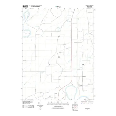
2010 Map of Decker
USGS Topo · Published 2010About this map
Decker sits at a strategic point north of the White River where the landscape is defined by its complex drainage network and low-lying elevations. The topography is shaped by the River Deshee and the Upper River Deshee, which snake through the township alongside numerous man-made features like Plass Ditch. This 2010 survey highlights a pattern of small, scattered communities connected by a grid of rural roads, including Saint Thomas, Vollmer, and Purcell. These small clusters of habitation often share the map with distinct natural rises like the Chimney Pier Hills and Dicksburg Hills, which provide relief from the surrounding flat agricultural land.
Find a feature on this map
79 named features on this map. Tap any name to fly to it.
Don’t see what you’re looking for? This feature index may not catch every label — zoom into the map to look around manually.
Map Details
Editions of this 2010 Decker Map
This is the sole edition of this map. No revisions or reprints were ever made.
Other maps of this area

1901 · Princeton
USGS Topo · 1:62,500

1902 · Ditney
USGS Topo · 1:125,000

1903 · Petersburg
USGS Topo · 1:62,500

1903 · Princeton
USGS Topo · 1:62,500

1903 · Patoka
USGS Topo · 1:125,000

1915 · Vincennes
USGS Topo · 1:62,500

1942 · Fritchton
USGS Topo · 1:24,000

1944 · Fritchton
USGS Topo · 1:24,000

1944 · Iona
USGS Topo · 1:24,000

1944 · Vincennes
USGS Topo · 1:62,500