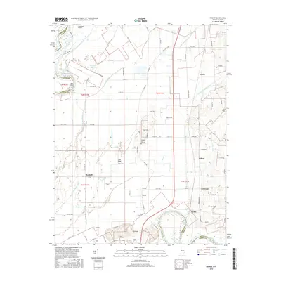
2016 Map of Decker
USGS Topo · Published 2016About this map
The White River and the Wabash River define the intricate drainage and fertile bottomlands of this southwestern Indiana landscape, where the state line with Illinois follows the river's winding course. This region is characterized by an extensive network of man-made and natural waterways, including the Swan Pond Ditch, Plass Ditch, and the Eke Drainage System Ditch, which manage the low-lying terrain of the Vincennes Prairie. The topographic detail highlights prominent elevations such as the Chimney Pier Hills and the Dicksburg Hills that rise above the floodplain, providing a clear view of how early settlement patterns were shaped by the water's edge and the high ground.
Find a feature on this map
100 named features on this map. Tap any name to fly to it.
Don’t see what you’re looking for? This feature index may not catch every label — zoom into the map to look around manually.
Map Details
Editions of this 2016 Decker Map
This is the sole edition of this map. No revisions or reprints were ever made.
Other maps of this area

1901 · Princeton
USGS Topo · 1:62,500

1902 · Ditney
USGS Topo · 1:125,000

1903 · Petersburg
USGS Topo · 1:62,500

1903 · Princeton
USGS Topo · 1:62,500

1903 · Patoka
USGS Topo · 1:125,000

1915 · Vincennes
USGS Topo · 1:62,500

1942 · Fritchton
USGS Topo · 1:24,000

1944 · Fritchton
USGS Topo · 1:24,000

1944 · Iona
USGS Topo · 1:24,000

1944 · Vincennes
USGS Topo · 1:62,500