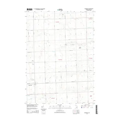
2014 Map of Deckerville
USGS Topo · Published 2014About this map
Deckerville serves as the primary hub of this agricultural portion of Sanilac County, where the village grid meets a landscape defined by an extensive drainage network. Numerous watercourses, including Elk Cr, Big Gully Cr, and Indian Cr, wind through the township sections, supporting the region's farming legacy. The map reveals a high density of rural burial sites that offer significant value for genealogical research, such as Delaware Cem, Mills Cem, and the family-named Rusnell Farm Cem.
Find a feature on this map
49 named features on this map. Tap any name to fly to it.
Don’t see what you’re looking for? This feature index may not catch every label — zoom into the map to look around manually.
Map Details
Editions of this 2014 Deckerville Map
This is the sole edition of this map. No revisions or reprints were ever made.
Other maps of this area

1954 · Flint
USGS Topo · 1:250,000

1958 · Flint
USGS Topo · 1:250,000

1963 · Forestville
USGS Topo · 1:24,000

1963 · Ruth
USGS Topo · 1:24,000

1963 · Sandusky
USGS Topo · 1:24,000

1963 · Port Sanilac
USGS Topo · 1:24,000

1963 · Minden City
USGS Topo · 1:24,000

1963 · Palms
USGS Topo · 1:24,000

1963 · Deckerville
USGS Topo · 1:24,000

1963 · Richmondville
USGS Topo · 1:24,000
Featured Places
- Deckerville, MI
- Forester Township, MI
- Delaware Township, MI
- Bridgehampton Township, MI
- Marion Township, MI