
1975 Map of Decorah 2 SW
USGS Topo · Published 1977About this map
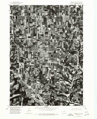
Ridgeway anchors this 1970s orthophotoquad, which captures the rhythmic agricultural patterns of Winneshiek County through high-altitude aerial imagery. The landscape is defined by the strict geometry of Iowa's rural grid, where farmsteads and field boundaries follow section lines established over a century prior. This specific survey type replaces traditional topographic contours with a direct photographic record, providing researchers with an unfiltered view of field sizes, woodlots, and the structural density of the settlement at Ridgeway during the mid-seventies. It serves as a stark document of the region's land use before later consolidation changed the rural footprint.
Find a feature on this map
1 named feature on this map. Tap any name to fly to it.
Don’t see what you’re looking for? This feature index may not catch every label — zoom into the map to look around manually.
Map Details
Editions of this 1975 Decorah 2 SW Map
This is the sole edition of this map. No revisions or reprints were ever made.
Other maps of this area

1906 · Decorah
USGS Topo · 1:125,000

1954 · Mason City
USGS Topo · 1:250,000

1957 · Mason City
USGS Topo · 1:250,000

1958 · Mason City
USGS Topo · 1:250,000

1958 · La Crosse
USGS Topo · 1:250,000

1961 · La Crosse
USGS Topo · 1:250,000

1965 · La Crosse
USGS Topo · 1:250,000

1975 · Decorah 2 NW
USGS Topo · 1:24,000

1975 · Decorah 3 NW
USGS Topo · 1:24,000
1975 · Decorah 2 NE
USGS Topo · 1:24,000