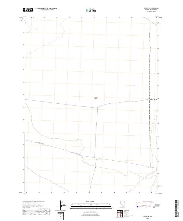
2021 Map of Decoy SW
USGS Topo · Published 2021About this map
Goshute Valley dominates this high-desert landscape in Elko County, appearing here as a vast, open expanse defined by its subtle topographic shifts and the systematic grid of the Public Land Survey System. The map documents a sparsely developed territory where infrastructure is limited to fundamental transcontinental corridors. Dolly Varden Spring Rd provides a critical point of reference for researchers and local historians tracing the path of early ranching and travel routes across the Great Basin. This 2021 survey by the U.S. Geological Survey captures the area's transition through various townships, including t31n r67e and t32n r67e, illustrating the enduring spatial organization of this rural Nevada interior.
Find a feature on this map
8 named features on this map. Tap any name to fly to it.
Don’t see what you’re looking for? This feature index may not catch every label — zoom into the map to look around manually.
Map Details
Editions of this 2021 Decoy SW Map
This is the sole edition of this map. No revisions or reprints were ever made.
Other maps of this area

1953 · Spruce Mountain 4
USGS Topo · 1:62,500

1955 · Elko
USGS Topo · 1:250,000

1958 · Elko
USGS Topo · 1:250,000

1962 · Elko
USGS Topo · 1:250,000

1965 · Elko
USGS Topo · 1:250,000

1971 · Decoy
USGS Topo · 1:24,000

1972 · Morgan Pass
USGS Topo · 1:24,000

1972 · Lion Spring
USGS Topo · 1:24,000

1972 · Decoy SW
USGS Topo · 1:24,000
1982 · Goshute Peak
USGS Topo · 1:24,000