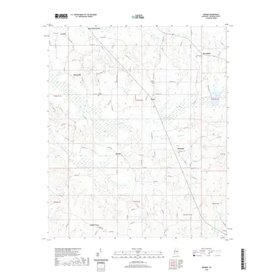
2020 Map of Deemer
USGS Topo · Published 2020About this map
Tucker and the surrounding rural communities of Neshoba County characterize this landscape southeast of Philadelphia. The terrain is defined by a dense network of small watercourses and engineered drainage, including the Cushtusia Canal and the Coonshucka Canal, which navigate the low-lying areas between modest rises like Rock Gut Hill. This geography supported a series of established settlements and meeting points, evidenced by the numerous cemeteries and community centers such as Spring Hill, Beatline, and Bethsaida. The road network, composed of a mix of Bureau of Indian Affairs routes and county roads, connects these rural hubs. Genealogists will find significant value in the documentation of local burial grounds, including Spring Hill Cem, Bloomfield Cem, and Golden Grove Cem, which serve as physical anchors for the family histories of this portion of East Central Mississippi.
Find a feature on this map
92 named features on this map. Tap any name to fly to it.
Don’t see what you’re looking for? This feature index may not catch every label — zoom into the map to look around manually.
Map Details
Editions of this 2020 Deemer Map
This is the sole edition of this map. No revisions or reprints were ever made.
Other maps of this area

1953 · Meridian
USGS Topo · 1:250,000

1957 · Meridian
USGS Topo · 1:250,000

1962 · House
USGS Topo · 1:24,000

1962 · Owl Creek
USGS Topo · 1:24,000

1962 · Post
USGS Topo · 1:24,000

1965 · Meridian
USGS Topo · 1:250,000

1972 · Pearl River
USGS Topo · 1:24,000

1972 · Deemer
USGS Topo · 1:24,000

1972 · Union East
USGS Topo · 1:24,000
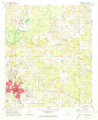
1972 · Philadelphia
USGS Topo · 1:24,000