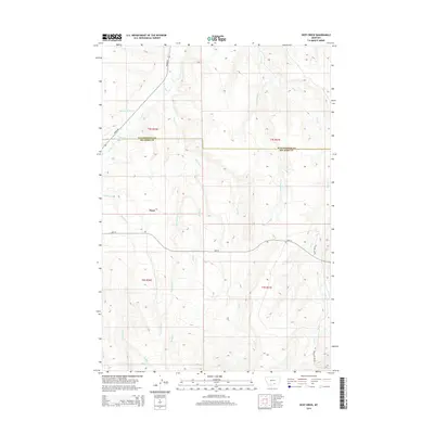
2014 Map of Deep Creek
USGS Topo · Published 2014About this map
Pryor serves as the primary settlement hub in this 2014 survey of the borderlands between Yellowstone and Big Horn Counties. The landscape is defined by an intricate network of drainage systems, including the seasonally shifting Pryor Cr and the descriptively named Smallpox Cr. Transportation through this expansive ranching and tribal territory relies on established routes such as Pryor Rd and Hwy 91, which cross the high plains between deep coulees and creek beds.
Find a feature on this map
18 named features on this map. Tap any name to fly to it.
Don’t see what you’re looking for? This feature index may not catch every label — zoom into the map to look around manually.
Map Details
Editions of this 2014 Deep Creek Map
This is the sole edition of this map. No revisions or reprints were ever made.
Other maps of this area

1893 · Huntley
USGS Topo · 1:125,000

1954 · Billings
USGS Topo · 1:250,000

1957 · Billings
USGS Topo · 1:250,000

1958 · Billings
USGS Topo · 1:250,000

1967 · Deep Creek SE
USGS Topo · 1:24,000

1967 · Castle Rocks
USGS Topo · 1:24,000

1967 · Deep Creek
USGS Topo · 1:24,000

1967 · Pryor
USGS Topo · 1:24,000

1967 · Deep Creek SW
USGS Topo · 1:24,000

1967 · Soda Springs
USGS Topo · 1:24,000