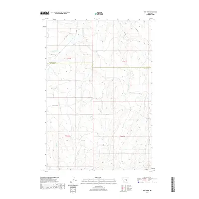
2020 Map of Deep Creek
USGS Topo · Published 2020About this map
Pryor Cr and its numerous tributaries dominate this drainage basin along the border of Yellowstone and Big Horn counties. The landscape is defined by a complex network of seasonal and perennial waterways, including Smallpox Cr, Porcupine Cr, and Middle Cr, which carve through the terrain between the high ridges of the Crow Indian Reservation vicinity. Transport across these drainages relies on a few primary corridors like Pryor Rd and the Pryor St Xavier Hwy, which connect the more remote reaches of the Montana plains.
Find a feature on this map
20 named features on this map. Tap any name to fly to it.
Don’t see what you’re looking for? This feature index may not catch every label — zoom into the map to look around manually.
Map Details
Editions of this 2020 Deep Creek Map
This is the sole edition of this map. No revisions or reprints were ever made.
Other maps of this area

1893 · Huntley
USGS Topo · 1:125,000

1954 · Billings
USGS Topo · 1:250,000

1957 · Billings
USGS Topo · 1:250,000

1958 · Billings
USGS Topo · 1:250,000

1967 · Deep Creek SE
USGS Topo · 1:24,000

1967 · Castle Rocks
USGS Topo · 1:24,000

1967 · Deep Creek
USGS Topo · 1:24,000

1967 · Pryor
USGS Topo · 1:24,000

1967 · Deep Creek SW
USGS Topo · 1:24,000

1967 · Soda Springs
USGS Topo · 1:24,000