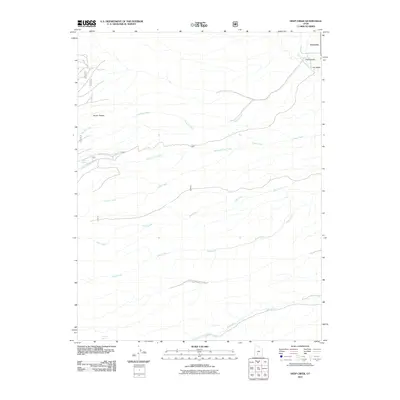
2011 Map of Deep Creek
USGS Topo · Published 2011About this map
Antimony sits at the northeastern edge of this high-altitude landscape, where the East Fork Sevier River flows near the opening of Pole Canyon. This terrain is dominated by the massive rise of the Sevier Plateau, a geographic feature that dictates the drainage patterns of the entire quadrangle. Numerous watercourses, including Hoodle Creek, Willow Spring Creek, and Forest Creek, descend from these heights, carving deep paths toward the river valley. In the southern half of the sheet, the landscape becomes increasingly complex as it moves through Deer Creek Black Canyon and across the Pine Creek drainage. This 2011 survey captures a remote section of Garfield County where the natural hydrology of sources like Willow Spring and Mountain Spring remains the defining characteristic of the land.
Find a feature on this map
18 named features on this map. Tap any name to fly to it.
Don’t see what you’re looking for? This feature index may not catch every label — zoom into the map to look around manually.
Map Details
Editions of this 2011 Deep Creek Map
This is the sole edition of this map. No revisions or reprints were ever made.
Other maps of this area

1885 · Beaver
USGS Topo · 1:250,000

1885 · Fish Lake
USGS Topo · 1:250,000

1886 · Kanab
USGS Topo · 1:250,000

1886 · Escalante
USGS Topo · 1:250,000

1896 · Fish Lake
USGS Topo · 1:250,000

1953 · Richfield
USGS Topo · 1:250,000

1953 · Cedar City
USGS Topo · 1:250,000

1956 · Escalante
USGS Topo · 1:250,000

1956 · Salina
USGS Topo · 1:250,000

1958 · Richfield
USGS Topo · 1:250,000