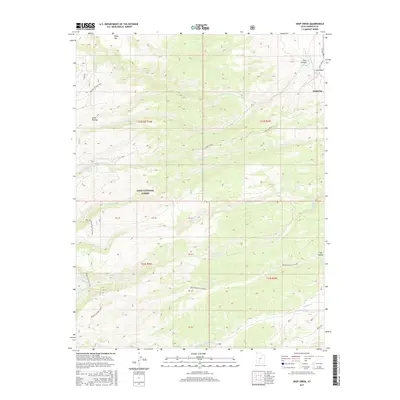
2017 Map of Deep Creek
USGS Topo · Published 2017About this map
Antimony sits at the edge of this high-elevation landscape, where the E Fork Sevier River meets the drainages of the Sevier Plateau. Much of the area is protected within the Dixie National Forest, a terrain defined by dramatic shifts in elevation and deep water-cut features like the Deer Creek Black Canyon. The hydrology of the region is complex, with numerous seasonal and perennial flows including Hoodle Cr, Willow Spring Cr, and Deep Creek. For those exploring the backcountry, the Mount Dutton Trail traverses the western ridges, providing a path through the transition between the plateau summits and the river valley below. Named landmarks such as Table Mtn and Pole Canyon serve as critical points for orientation in this sparsely populated portion of Garfield County.
Find a feature on this map
31 named features on this map. Tap any name to fly to it.
Don’t see what you’re looking for? This feature index may not catch every label — zoom into the map to look around manually.
Map Details
Editions of this 2017 Deep Creek Map
This is the sole edition of this map. No revisions or reprints were ever made.
Other maps of this area

1885 · Beaver
USGS Topo · 1:250,000

1885 · Fish Lake
USGS Topo · 1:250,000

1886 · Kanab
USGS Topo · 1:250,000

1886 · Escalante
USGS Topo · 1:250,000

1896 · Fish Lake
USGS Topo · 1:250,000

1953 · Richfield
USGS Topo · 1:250,000

1953 · Cedar City
USGS Topo · 1:250,000

1956 · Escalante
USGS Topo · 1:250,000

1956 · Salina
USGS Topo · 1:250,000

1958 · Richfield
USGS Topo · 1:250,000