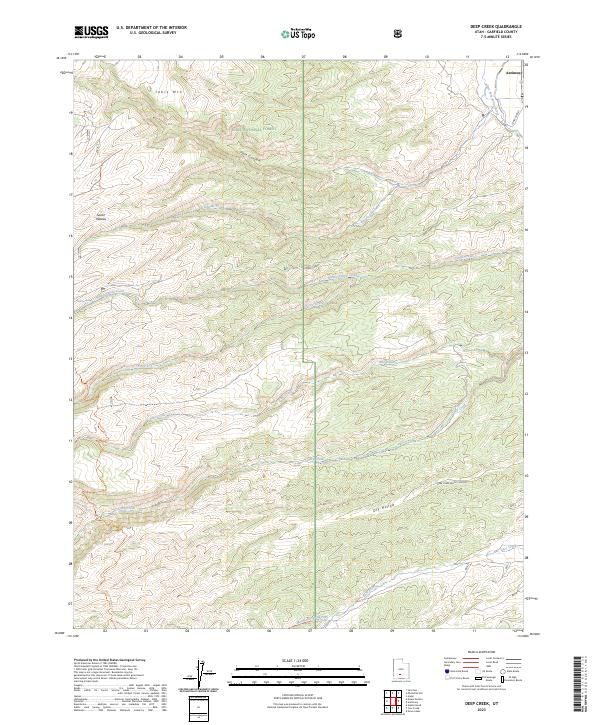
2023 Map of Deep Creek
USGS Topo · Published 2023About this map
Antimony sits at the edge of the high mountain terrain in Garfield County, marking the transition from the irrigated valley floors to the high reaches of the Dixie National Forest. This 2023 survey details a landscape defined by dramatic elevation changes across the Sevier Plateau, where the East Fork Sevier River flows northward past Table Mtn. The topography is etched with numerous drainage systems, including Hoodle Creek, Willow Spring Creek, and the deep incisions of Deer Creek Black Canyon. Movement through this backcountry is traced by landmarks such as the Mount Dutton Trl and Jones Corral, reflecting a region primarily used for forest management and livestock grazing. The complex water network, featuring Deep Creek and Mountain Spring Fork, illustrates the crucial role of seasonal runoff in this arid high-elevation environment.
Find a feature on this map
17 named features on this map. Tap any name to fly to it.
Don’t see what you’re looking for? This feature index may not catch every label — zoom into the map to look around manually.
Map Details
Editions of this 2023 Deep Creek Map
This is the sole edition of this map. No revisions or reprints were ever made.
Other maps of this area

1885 · Beaver
USGS Topo · 1:250,000

1885 · Fish Lake
USGS Topo · 1:250,000

1886 · Kanab
USGS Topo · 1:250,000

1886 · Escalante
USGS Topo · 1:250,000

1896 · Fish Lake
USGS Topo · 1:250,000

1953 · Richfield
USGS Topo · 1:250,000

1953 · Cedar City
USGS Topo · 1:250,000

1956 · Escalante
USGS Topo · 1:250,000

1956 · Salina
USGS Topo · 1:250,000

1958 · Richfield
USGS Topo · 1:250,000