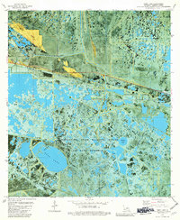
1979 Map of Deep Lake
USGS Topo · Published 1980About this map
Rockefeller State Wildlife Refuge and Game Preserve dominates this coastal landscape, revealing a complex network of wetlands and energy extraction infrastructure in the late 1970s. The map illustrates how industry and conservation intersect, with the Grand Chenier Oil and Gas Field and various Gas Wells and Drill Holes scattered across the marshy terrain. Geographic features like Grand Chenier Ridge and Big Pecan Ridge provide the only significant elevation in a region defined by water bodies such as Deep Lake and the winding Constance Bayou.
Find a feature on this map
25 named features on this map. Tap any name to fly to it.
Don’t see what you’re looking for? This feature index may not catch every label — zoom into the map to look around manually.
Map Details
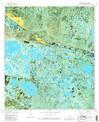
Editions of this 1979 Deep Lake Map
2 editions found
Other maps of this area

1932 · Constance Bayou NE
USGS Topo · 1:31,680

1932 · Constance Bayou SW
USGS Topo · 1:31,680

1932 · Constance Bayou SE
USGS Topo · 1:31,680

1932 · Constance Bayou NW
USGS Topo · 1:31,680

1934 · Catfish Lake
USGS Topo · 1:24,000

1935 · Catfish Lake
USGS Topo · 1:31,680

1946 · Hog Bayou NE
USGS Topo · 1:31,680

1949 · Hog Bayou NE
USGS Topo · 1:31,680

1954 · Grand Lake East SE
USGS Topo · 1:31,680
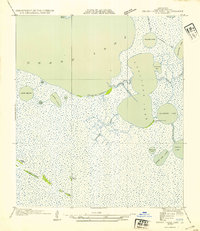
1954 · Grand Lake East SW
USGS Topo · 1:31,680