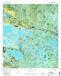
1979 Map of Deep Lake
USGS Topo · Published 1980About this map
Grand Chenier Ridge stands as the primary elevated relief in this coastal marshland, serving as a corridor for settlement and transit just north of the vast Rockefeller State Wildlife Refuge and Game Preserve. This 1979 orthophotomap provides a rare hybrid view, combining traditional topographic contours with aerial photography to reveal the intricate hydraulic network of south Louisiana. The landscape is dominated by the expansive waters of Deep Lake and a complex system of waterways including Josephine Bayou, Constance Bayou, and Dyson Bayou.
Find a feature on this map
25 named features on this map. Tap any name to fly to it.
Don’t see what you’re looking for? This feature index may not catch every label — zoom into the map to look around manually.
Map Details
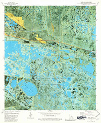
Editions of this 1979 Deep Lake Map
2 editions found
Other maps of this area

1932 · Constance Bayou NE
USGS Topo · 1:31,680

1932 · Constance Bayou SW
USGS Topo · 1:31,680

1932 · Constance Bayou SE
USGS Topo · 1:31,680

1932 · Constance Bayou NW
USGS Topo · 1:31,680

1934 · Catfish Lake
USGS Topo · 1:24,000

1935 · Catfish Lake
USGS Topo · 1:31,680

1946 · Hog Bayou NE
USGS Topo · 1:31,680

1949 · Hog Bayou NE
USGS Topo · 1:31,680

1954 · Grand Lake East SE
USGS Topo · 1:31,680
1954 · Grand Lake East SW
USGS Topo · 1:31,680