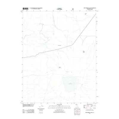
2012 Map of Deep Springs Lake
USGS Topo · Published 2012About this map
Deep Springs Lake sits at the heart of this high-desert basin in eastern Inyo County. This 2012 survey illustrates the hydrological network of the Deep Springs Valley, where numerous named water sources such as Bog Mound Springs, Buckhorn Springs, and Corral Springs emerge from the arid terrain. The landscape is defined by dramatic elevation changes, rising from the lake bed toward the northern height of Crystal Peak. Drainages like Birch Cr and Beer Cr flow toward the valley floor, carving paths through the topography near landmarks like The Elephant and Payson Canyon. The map preserves the location of isolated springs, including Antelope Spring and Cuna Spring, which have historically served as vital landmarks in this part of the California desert.
Find a feature on this map
14 named features on this map. Tap any name to fly to it.
Don’t see what you’re looking for? This feature index may not catch every label — zoom into the map to look around manually.
Map Details
Editions of this 2012 Deep Springs Lake Map
This is the sole edition of this map. No revisions or reprints were ever made.
Other maps of this area

1908 · Lida
USGS Topo · 1:250,000

1913 · Bishop
USGS Topo · 1:125,000

1913 · Lida
USGS Topo · 1:250,000

1947 · Mariposa
USGS Topo · 1:250,000

1948 · Mariposa
USGS Topo · 1:250,000

1951 · Blanco Mountain
USGS Topo · 1:62,500

1951 · Waucoba Mtn.
USGS Topo · 1:62,500

1954 · Goldfield
USGS Topo · 1:250,000

1955 · Goldfield
USGS Topo · 1:250,000

1957 · Mariposa
USGS Topo · 1:250,000