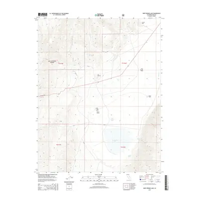
2015 Map of Deep Springs Lake
USGS Topo · Published 2015About this map
Deep Springs Lake occupies the central depression of this high-desert basin, where drainage from the surrounding mountains collects in a landscape defined by dramatic elevation shifts. The eastern slopes of the White-Inyo Range descend steeply into the Deep Springs Valley, while the western edge of the map is dominated by the Inyo National Forest. This 2015 survey reveals a significant hydrographic network of seasonal springs essential for life in the arid corridor between the mountains and the alkali lakebed, including Bog Mound Springs and Corral Springs. Notable geological landmarks like Crystal Peak and the curiously named formation The Elephant stand as sentinels over Payson Canyon. Transportation through this challenging terrain is anchored by Westgard Pass, a critical route connecting the valley to the broader Owens Valley to the west.
Find a feature on this map
22 named features on this map. Tap any name to fly to it.
Don’t see what you’re looking for? This feature index may not catch every label — zoom into the map to look around manually.
Map Details
Editions of this 2015 Deep Springs Lake Map
This is the sole edition of this map. No revisions or reprints were ever made.
Other maps of this area

1908 · Lida
USGS Topo · 1:250,000

1913 · Bishop
USGS Topo · 1:125,000

1913 · Lida
USGS Topo · 1:250,000

1947 · Mariposa
USGS Topo · 1:250,000

1948 · Mariposa
USGS Topo · 1:250,000

1951 · Blanco Mountain
USGS Topo · 1:62,500

1951 · Waucoba Mtn.
USGS Topo · 1:62,500

1954 · Goldfield
USGS Topo · 1:250,000

1955 · Goldfield
USGS Topo · 1:250,000

1957 · Mariposa
USGS Topo · 1:250,000