
1970 Map of Deep Well Ranch
USGS Topo · Published 1973About this map
The high-desert landscape of West Texas is defined by its intermittent drainage systems and isolated ranching outposts in this 1970 study. The topography is dominated by the prominent peak known as The Monument, while the surrounding terrain is etched by the courses of Barrilla Draw, Lawrence Draw, and Addison Draw. These dry washes indicate a landscape where water management was the primary concern for local operations like Deep Well Ranch and Stone Ranch. Evidence of the area's infrastructure for early aviation and ranching is visible through the inclusion of Landing Strips and the Dutch Windmill. The map also captures the administrative boundary between Reeves Co Pecos Co, providing a clear record of land division in this arid region. For those researching local genealogy, a lone Grave is marked near the center of the quadrangle along the banks of the Barrilla.
Find a feature on this map
12 named features on this map. Tap any name to fly to it.
Don’t see what you’re looking for? This feature index may not catch every label — zoom into the map to look around manually.
Map Details
Editions of this 1970 Deep Well Ranch Map
This is the sole edition of this map. No revisions or reprints were ever made.
Other maps of this area

1894 · Fort Davis
USGS Topo · 1:125,000

1897 · Fort Davis
USGS Topo · 1:125,000

1929 · Hovey
USGS Topo · 1:125,000

1954 · Fort Stockton
USGS Topo · 1:250,000

1958 · Fort Stockton
USGS Topo · 1:250,000

1970 · Tucker Hill
USGS Topo · 1:24,000

1970 · Deep Well Ranch SE
USGS Topo · 1:24,000
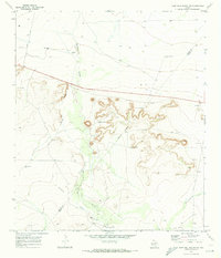
1970 · Deep Well Ranch NW
USGS Topo · 1:24,000

1973 · Fort Stockton
USGS Topo · 1:250,000
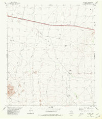
1980 · Cox Draw
USGS Topo · 1:24,000