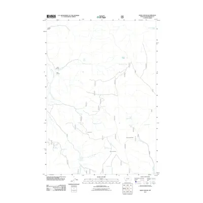
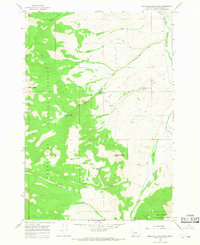
2011 Map of Deer Canyon
USGS Topo · Published 2011About this map
Anderson Mine and the McBride Creek Mine anchor this high-elevation landscape in Beaverhead County, Montana. The terrain is defined by a series of drainages and seasonal water sources that supported mining and ranching interests, including Deer Canyon Creek and Warm Springs Creek. Local naming conventions reflect the challenging environment and ranching history, seen in labels like Dead Horse Spring, Wagon Box Spring, and Flat Tire Spring. In the higher elevations, Sourdough Point overlooks the Sourdough Creek drainage, while the curiously named Poison Lakes sit in the northeastern corner. The extensive network of Forest Service roads crisscrossing the map illustrates the infrastructure required to manage these remote resource lands.
Find a feature on this map
51 named features on this map. Tap any name to fly to it.
Don’t see what you’re looking for? This feature index may not catch every label — zoom into the map to look around manually.
Map Details
Editions of this 2011 Deer Canyon Map
This is the sole edition of this map. No revisions or reprints were ever made.
Other maps of this area

1955 · Dubois
USGS Topo · 1:250,000

1956 · Morrison Lake
USGS Topo · 1:62,500

1958 · Dubois
USGS Topo · 1:250,000
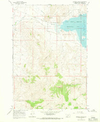
1965 · Garfield Canyon
USGS Topo · 1:24,000

1965 · Kidd
USGS Topo · 1:24,000
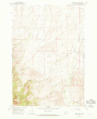
1965 · Hansen Ranch
USGS Topo · 1:24,000
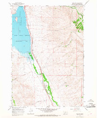
1965 · Red Rock
USGS Topo · 1:24,000

1965 · Graphite Mountain
USGS Topo · 1:24,000

1965 · Deer Canyon
USGS Topo · 1:24,000
1965 · Medicine Lodge Peak
USGS Topo · 1:24,000