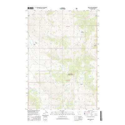
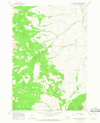
2017 Map of Deer Canyon
USGS Topo · Published 2017About this map
The Tendoy Mountains dominate this high-altitude landscape within the Beaverhead National Forest of southwestern Montana. Steep drainages and seasonal water sources define the area, marked by numerous named springs such as Wagon Box Spring, Dead Horse Spring, and Lone Spring. These water points were essential for livestock and travelers moving through the high country. The terrain is deeply incised by Deer Canyon, Rock Canyon, and McKenzie Canyon, with the heights of Sourdough Point providing a prominent local landmark. Human passage is recorded along the Medicine Lodge Rd and Swamps Rd, which skirt the western edge of the mountains. The presence of Graphite Spring and Poison Lakes suggests a complex local mineralogy and challenging environment for early ranchers and foresters navigating the Township 12 South, Range 11 West survey lines.
Find a feature on this map
33 named features on this map. Tap any name to fly to it.
Don’t see what you’re looking for? This feature index may not catch every label — zoom into the map to look around manually.
Map Details
Editions of this 2017 Deer Canyon Map
This is the sole edition of this map. No revisions or reprints were ever made.
Other maps of this area

1955 · Dubois
USGS Topo · 1:250,000

1956 · Morrison Lake
USGS Topo · 1:62,500

1958 · Dubois
USGS Topo · 1:250,000
1965 · Garfield Canyon
USGS Topo · 1:24,000

1965 · Kidd
USGS Topo · 1:24,000
1965 · Hansen Ranch
USGS Topo · 1:24,000
1965 · Red Rock
USGS Topo · 1:24,000

1965 · Graphite Mountain
USGS Topo · 1:24,000

1965 · Deer Canyon
USGS Topo · 1:24,000
1965 · Medicine Lodge Peak
USGS Topo · 1:24,000