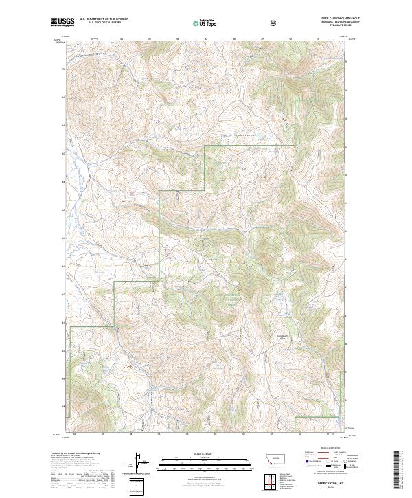
2024 Map of Deer Canyon
USGS Topo · Published 2024About this map
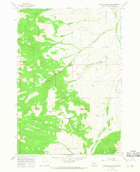
The Tendoy Mountains dominate this high-elevation landscape within the Beaverhead National Forest, where the complex drainages of Medicine Lodge Creek and Warm Springs Creek shape the terrain. This environment is defined by its seasonal water sources, evidenced by numerous named springs such as Wagon Box Spring, Flat Tire Spring, and Dead Horse Spring. These names suggest a history of rugged transit and livestock management long before modern surveying.
Find a feature on this map
33 named features on this map. Tap any name to fly to it.
Don’t see what you’re looking for? This feature index may not catch every label — zoom into the map to look around manually.
Map Details
Editions of this 2024 Deer Canyon Map
This is the sole edition of this map. No revisions or reprints were ever made.
Other maps of this area

1955 · Dubois
USGS Topo · 1:250,000

1956 · Morrison Lake
USGS Topo · 1:62,500

1958 · Dubois
USGS Topo · 1:250,000
1965 · Garfield Canyon
USGS Topo · 1:24,000

1965 · Kidd
USGS Topo · 1:24,000
1965 · Hansen Ranch
USGS Topo · 1:24,000
1965 · Red Rock
USGS Topo · 1:24,000

1965 · Graphite Mountain
USGS Topo · 1:24,000

1965 · Deer Canyon
USGS Topo · 1:24,000
1965 · Medicine Lodge Peak
USGS Topo · 1:24,000