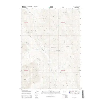
2015 Map of Deer Creek
USGS Topo · Published 2015About this map
Bridger National Forest land defines this section of Lincoln County, where the high ridges of the Wyoming Range meet a complex network of drainages. The Greys River and Little Greys River serve as the primary hydrologic corridors, fed by numerous creeks including McCain Creek, Hot Foot Cr, and Porcupine Cr. The terrain is marked by significant elevations like Star Peaks and prominent features such as Middle Ridge, which divides several of the major creek basins. Human presence is largely limited to the Greys River Rd and the Way Trail, indicating an area primarily utilized for forest management and remote recreation. Notable landmarks like Stump Lake and the Grizzly Basin provide specific points of reference within the dense network of canyons and hollows such as Aspen Hollow.
Find a feature on this map
38 named features on this map. Tap any name to fly to it.
Don’t see what you’re looking for? This feature index may not catch every label — zoom into the map to look around manually.
Map Details
Editions of this 2015 Deer Creek Map
This is the sole edition of this map. No revisions or reprints were ever made.
Other maps of this area

1921 · Afton
USGS Topo · 1:125,000

1931 · Jackson
USGS Topo · 1:125,000

1935 · Jackson
USGS Topo · 1:125,000

1955 · Driggs
USGS Topo · 1:250,000

1955 · Preston
USGS Topo · 1:250,000

1958 · Driggs
USGS Topo · 1:250,000

1958 · Preston
USGS Topo · 1:250,000

1962 · Driggs
USGS Topo · 1:250,000

1962 · Preston
USGS Topo · 1:250,000

1963 · Ferry Peak
USGS Topo · 1:24,000