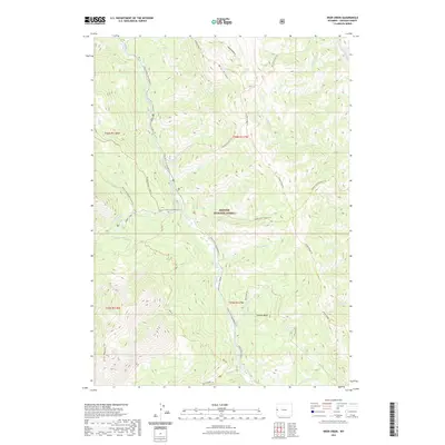
2021 Map of Deer Creek
USGS Topo · Published 2021About this map
The Greys River corridor and its confluence with the Little Greys River anchor this high-elevation landscape within the Bridger National Forest. The complex drainage system is defined by numerous seasonal and perennial creeks, including Murphy Creek, Deer Creek, and Stewart Creek, which carve through the prominent Mid Ridge and Star Peaks. This network of waterways and ridges historically dictated the placement of seasonal trails that now serve as modern recreation routes, such as the Greys River Snowmobile Trail and the Murphy Squaw Creek Trail.
Find a feature on this map
41 named features on this map. Tap any name to fly to it.
Don’t see what you’re looking for? This feature index may not catch every label — zoom into the map to look around manually.
Map Details
Editions of this 2021 Deer Creek Map
This is the sole edition of this map. No revisions or reprints were ever made.
Other maps of this area

1921 · Afton
USGS Topo · 1:125,000

1931 · Jackson
USGS Topo · 1:125,000

1935 · Jackson
USGS Topo · 1:125,000

1955 · Driggs
USGS Topo · 1:250,000

1955 · Preston
USGS Topo · 1:250,000

1958 · Driggs
USGS Topo · 1:250,000

1958 · Preston
USGS Topo · 1:250,000

1962 · Driggs
USGS Topo · 1:250,000

1962 · Preston
USGS Topo · 1:250,000

1963 · Ferry Peak
USGS Topo · 1:24,000