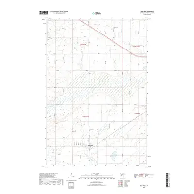
2019 Map of Deer Creek
USGS Topo · Published 2019About this map
The town of Deer Creek serves as the focal point of this Otter Tail County survey, situated at the junction of Main Ave and Co Rd 50. The surrounding landscape is characterized by a high density of wetlands and small water bodies, particularly evident in the marshy expanses south of Co Hwy 52. Water drainage patterns are defined by the Leaf River and several small tributaries including Finn Cr and Bluff Cr, while the presence of County Ditch Number Eight indicates the historical efforts to manage these prairie wetlands for agricultural use. For genealogists, the map provides precise locations for three local burial grounds: Oak Hill Cem to the west, Fairview Cem near the town center, and Topelius Cem along the northern rail corridor. These landmarks, along with established routes like Cree Trl, offer a clear picture of the region's rural structure in the early 21st century.
Find a feature on this map
33 named features on this map. Tap any name to fly to it.
Don’t see what you’re looking for? This feature index may not catch every label — zoom into the map to look around manually.
Map Details
Editions of this 2019 Deer Creek Map
This is the sole edition of this map. No revisions or reprints were ever made.
Other maps of this area

1953 · Brainerd
USGS Topo · 1:250,000

1957 · Brainerd
USGS Topo · 1:250,000

1958 · Brainerd
USGS Topo · 1:250,000

1965 · Brainerd
USGS Topo · 1:250,000

1969 · Henning
USGS Topo · 1:24,000

1969 · Sebeka SW
USGS Topo · 1:24,000

1969 · Henning SE
USGS Topo · 1:24,000

1969 · Heinola
USGS Topo · 1:24,000

1969 · New York Mills West
USGS Topo · 1:24,000

1969 · Wrightstown
USGS Topo · 1:24,000
Featured Places
- Deer Creek, MN
- Compton Township, MN
- Deer Creek Mobile Home Park, Deer Creek
- Otter Tail County, MN
- United States