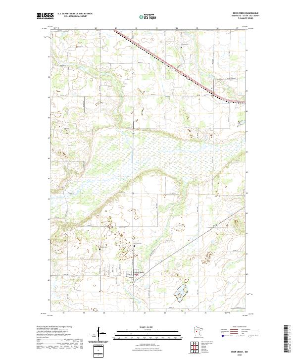
2022 Map of Deer Creek
USGS Topo · Published 2022About this map
Deer Creek serves as the central hub of this agricultural and wetland landscape in Otter Tail County, where a network of township roads like 535th Ave and 350th St divide the prairie into a distinct grid. The drainage of the land is defined by several meandering waterways including the Leaf River and Bluff Cr, which flow through extensive marshes and lowlands. Historical research is anchored by three prominent burial grounds: Oak Hill Cem, Fairview Cem, and Topelius Cem, each serving as a marker for the area's rural genealogy. The map illustrates the sophisticated water management of the region, specifically noted by the channelized County Ditch Number Eight cutting through the southern sections. This modern survey emphasizes the persistent rural character of the township sections, preserving the spatial arrangement of farmsteads and field boundaries established long before current mapping technologies.
Find a feature on this map
62 named features on this map. Tap any name to fly to it.
Don’t see what you’re looking for? This feature index may not catch every label — zoom into the map to look around manually.
Map Details
Editions of this 2022 Deer Creek Map
This is the sole edition of this map. No revisions or reprints were ever made.
Other maps of this area

1953 · Brainerd
USGS Topo · 1:250,000

1957 · Brainerd
USGS Topo · 1:250,000

1958 · Brainerd
USGS Topo · 1:250,000

1965 · Brainerd
USGS Topo · 1:250,000

1969 · Henning
USGS Topo · 1:24,000

1969 · Sebeka SW
USGS Topo · 1:24,000

1969 · Henning SE
USGS Topo · 1:24,000

1969 · Heinola
USGS Topo · 1:24,000

1969 · New York Mills West
USGS Topo · 1:24,000

1969 · Wrightstown
USGS Topo · 1:24,000
Featured Places
- Deer Creek, MN
- Compton Township, MN
- Deer Creek Mobile Home Park, Deer Creek
- Otter Tail County, MN
- United States