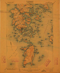
1904 Map of Deer Isle
USGS Topo · Published 1912About this map
The coastal village of Stonington serves as the focal point for this Maine maritime landscape, which captures the granite-working and seafaring economy of the early twentieth century. Across the archipelago, the Steamboat Route winds through Eggemoggin Reach and Merchant Confines, connecting remote island outposts like Isle au Haut to the mainland. The intricate network of tidal basins, including Lily Pond and Fish Creek, underscores a landscape shaped by both glaciation and the sea. The map documents the specific locations of late-nineteenth-century settlements like The Haulover, Mountainville, and Oceanville, along with maritime navigational aids like the Deer I. Thorofare L.H.. Unique local identifiers such as The Seal Trap near Moore Harbor provide a rare glimpse into the vernacular geography used by local fishermen and mariners of the era.
Find a feature on this map
164 named features on this map. Tap any name to fly to it.
Don’t see what you’re looking for? This feature index may not catch every label — zoom into the map to look around manually.
Map Details
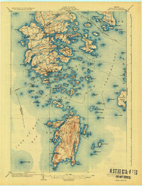
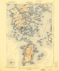
Editions of this 1904 Deer Isle Map
4 editions found
Other maps of this area

1902 · Castine
USGS Topo · 1:62,500

1904 · Deer Isle
USGS Topo · 1:62,500

1904 · Castine
USGS Topo · 1:62,500

1904 · Mount Desert
USGS Topo · 1:62,500

1904 · Swan Island
USGS Topo · 1:62,500

1904 · Bluehill
USGS Topo · 1:62,500

1904 · Vinalhaven
USGS Topo · 1:62,500

1905 · Penobscot Bay
USGS Topo · 1:125,000

1906 · Matinicus
USGS Topo · 1:62,500

1941 · Castine
USGS Topo · 1:62,500