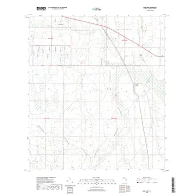
2018 Map of Deer Park
USGS Topo · Published 2018About this map
The low-lying wetlands of eastern Osceola County define this landscape, where the Jane Green Swamp and Sawgrass Slough dominate the terrain. A complex system of waterways, including Bull Cr, Crabgrass Cr, and Billy Cr, indicates a region historically shaped by seasonal drainage and ranching operations. The settlement of Deer Park serves as the primary hub in the northeast, positioned near the intersection of Co HWY 419 and Kemper Rd.
Find a feature on this map
37 named features on this map. Tap any name to fly to it.
Don’t see what you’re looking for? This feature index may not catch every label — zoom into the map to look around manually.
Map Details
Editions of this 2018 Deer Park Map
This is the sole edition of this map. No revisions or reprints were ever made.
Other maps of this area

1953 · Deer Park NE
USGS Topo · 1:24,000

1953 · Holopaw SE
USGS Topo · 1:24,000

1953 · Deer Park SE
USGS Topo · 1:24,000

1953 · Kenansville
USGS Topo · 1:24,000

1953 · Deer Park NW
USGS Topo · 1:24,000

1953 · Kenansville NE
USGS Topo · 1:24,000

1953 · Deer Park
USGS Topo · 1:24,000

1953 · Holopaw
USGS Topo · 1:24,000

1953 · Lake Marian NE
USGS Topo · 1:24,000

1955 · Orlando
USGS Topo · 1:250,000