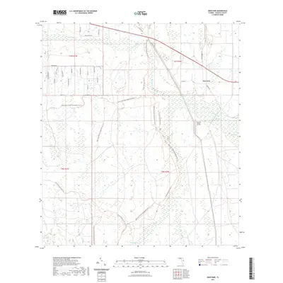
2021 Map of Deer Park
USGS Topo · Published 2021About this map
Deer Park remains a quiet node in Osceola County, situated at the junction of modern transit and historic pathways like Old Brick Rd. The landscape is defined by the expansive wetlands of the Jane Green Swamp and the headwaters of Bull Cr, where the terrain transitions into managed conservation lands. Significant trail systems, including the Florida National Scenic Trl and the Bull Creek Wildlife Management Area Trl, weave through the region, reflecting a modern emphasis on environmental preservation over the intensive citrus agriculture signaled by the Gamebird Groves Airstrip.
Find a feature on this map
38 named features on this map. Tap any name to fly to it.
Don’t see what you’re looking for? This feature index may not catch every label — zoom into the map to look around manually.
Map Details
Editions of this 2021 Deer Park Map
This is the sole edition of this map. No revisions or reprints were ever made.
Other maps of this area

1953 · Deer Park NE
USGS Topo · 1:24,000

1953 · Holopaw SE
USGS Topo · 1:24,000

1953 · Deer Park SE
USGS Topo · 1:24,000

1953 · Kenansville
USGS Topo · 1:24,000

1953 · Deer Park NW
USGS Topo · 1:24,000

1953 · Kenansville NE
USGS Topo · 1:24,000

1953 · Deer Park
USGS Topo · 1:24,000

1953 · Holopaw
USGS Topo · 1:24,000

1953 · Lake Marian NE
USGS Topo · 1:24,000

1955 · Orlando
USGS Topo · 1:250,000