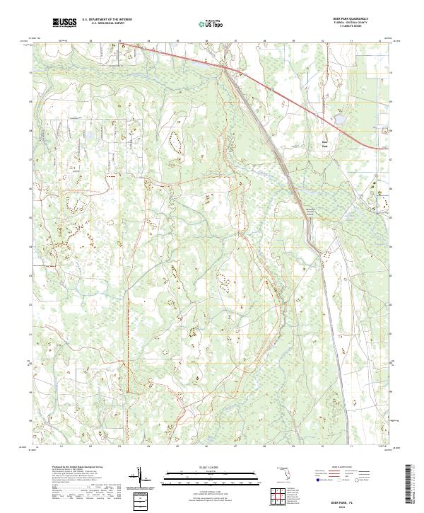
2024 Map of Deer Park
USGS Topo · Published 2024About this map
Deer Park serves as a primary reference point in this corner of Osceola County, where the landscape is defined by vast conservation lands and an intricate drainage network. The area is dominated by the Bull Creek Wildlife Management Area Trl and the Triple N Ranch Wildlife Management Area Trl, intersected by the long-distance Florida National Scenic Trl. This environment is characterized by hydrologic features like Crabgrass Creek, Jane Green Swamp, and Sawgrass Slough, which illustrate the low-lying, wet-prairie nature of the Florida interior.
Find a feature on this map
42 named features on this map. Tap any name to fly to it.
Don’t see what you’re looking for? This feature index may not catch every label — zoom into the map to look around manually.
Map Details
Editions of this 2024 Deer Park Map
This is the sole edition of this map. No revisions or reprints were ever made.
Other maps of this area

1953 · Deer Park NE
USGS Topo · 1:24,000

1953 · Holopaw SE
USGS Topo · 1:24,000

1953 · Deer Park SE
USGS Topo · 1:24,000

1953 · Kenansville
USGS Topo · 1:24,000

1953 · Deer Park NW
USGS Topo · 1:24,000

1953 · Kenansville NE
USGS Topo · 1:24,000

1953 · Deer Park
USGS Topo · 1:24,000

1953 · Holopaw
USGS Topo · 1:24,000

1953 · Lake Marian NE
USGS Topo · 1:24,000

1955 · Orlando
USGS Topo · 1:250,000