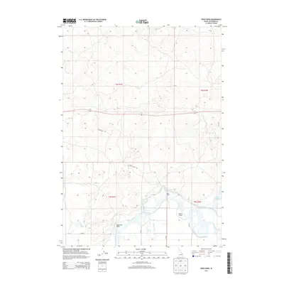
2013 Map of Deer Parks
USGS Topo · Published 2013About this map
Snake River meanders through the southern portion of this Jefferson County landscape, creating a complex network of waterways and irrigation infrastructure. The area is defined by its agricultural character, evidenced by the extensive canal system including the Butte Market Lake Canal and the Deer Park Canal. The settlement of Deer Parks sits near a prominent bend in the river, adjacent to Kellers Island and the marshy reaches of Oxbow Slough.
Find a feature on this map
21 named features on this map. Tap any name to fly to it.
Don’t see what you’re looking for? This feature index may not catch every label — zoom into the map to look around manually.
Map Details
Editions of this 2013 Deer Parks Map
This is the sole edition of this map. No revisions or reprints were ever made.
Other maps of this area

1948 · Rigby
USGS Topo · 1:24,000

1948 · Lewisville
USGS Topo · 1:24,000

1949 · Rigby
USGS Topo · 1:24,000

1949 · Lewisville
USGS Topo · 1:24,000

1949 · Roberts
USGS Topo · 1:62,500

1949 · Roberts
USGS Topo · 1:24,000

1950 · Roberts
USGS Topo · 1:24,000

1950 · Rigby
USGS Topo · 1:62,500
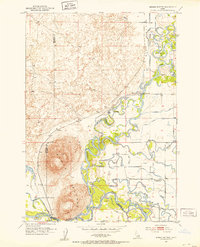
1951 · Menan Buttes
USGS Topo · 1:24,000

1951 · Plano
USGS Topo · 1:24,000