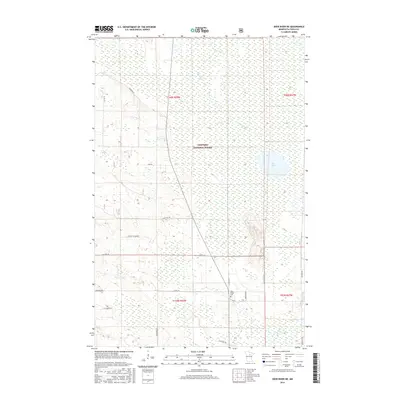
2016 Map of Deer River NE
USGS Topo · Published 2016About this map
Chippewa National Forest encompasses the vast majority of this landscape in Itasca County, where a dense network of forest roads and township lines defines the wilderness character. The terrain is notably dominated by wetlands and small waterways, including the winding course of Grouse Cr and the larger expanse of Rice Lake to the east. Human presence is marked by a grid of rural routes such as Co Hwy 44 and Rosewood Rd, which connect scattered homesteads and local landmarks. The southern portion of the map features the Pine Ridge Cem near the junction of Co Rd 112 and Co Rd 172, providing a touchpoint for local genealogical research. In the southeast, the namesake Deer River flows through the lowlands, illustrating the complex hydrography of this northern Minnesota timber and wetland region during the early 21st century.
Find a feature on this map
25 named features on this map. Tap any name to fly to it.
Don’t see what you’re looking for? This feature index may not catch every label — zoom into the map to look around manually.
Map Details
Editions of this 2016 Deer River NE Map
This is the sole edition of this map. No revisions or reprints were ever made.
Other maps of this area

1919 · Marcell
USGS Topo · 1:62,500

1953 · Cohasset West
USGS Topo · 1:24,000

1954 · Hibbing
USGS Topo · 1:250,000

1957 · Hibbing
USGS Topo · 1:250,000

1958 · Hibbing
USGS Topo · 1:250,000

1964 · Hibbing
USGS Topo · 1:250,000

1970 · Bowstring Lake
USGS Topo · 1:24,000

1970 · Deer River NE
USGS Topo · 1:24,000

1970 · Jessie Lake
USGS Topo · 1:24,000
1970 · Deer River
USGS Topo · 1:24,000