
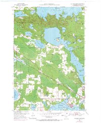
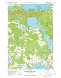
1953 Map of Cohasset West
USGS Topo · Published 1955About this map
The Leech Lake Indian Reservation encompasses a significant portion of this landscape, reflecting a geography where cultural boundaries and natural waterways are deeply intertwined. In the early 1950s, the Great Northern railroad line served as a vital industrial artery, cutting diagonally through the terrain toward the settlement of Cohasset. This rail corridor, complemented by a parallel Pipe Line, underscores the region's importance as a transit hub for northern Minnesota resources.
Find a feature on this map
41 named features on this map. Tap any name to fly to it.
Don’t see what you’re looking for? This feature index may not catch every label — zoom into the map to look around manually.
Map Details
Editions of this 1953 Cohasset West Map
3 editions found
Other maps of this area

1953 · Cohasset East
USGS Topo · 1:24,000

1953 · Siseebakwet Lake
USGS Topo · 1:24,000

1953 · Grand Rapids
USGS Topo · 1:24,000

1954 · Hibbing
USGS Topo · 1:250,000

1957 · Hibbing
USGS Topo · 1:250,000

1958 · Hibbing
USGS Topo · 1:250,000

1964 · Hibbing
USGS Topo · 1:250,000

1970 · Deer River NE
USGS Topo · 1:24,000

1970 · Wabana Lake
USGS Topo · 1:24,000
1970 · Deer River
USGS Topo · 1:24,000