
1953 Map of Grand Rapids
USGS Topo · Published 1955About this map
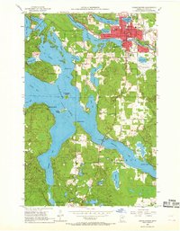
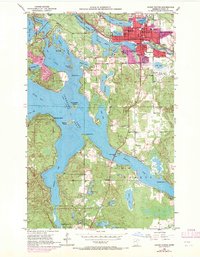
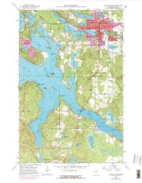
Grand Rapids serves as the industrial and civic anchor of this Itasca County landscape in the early 1950s. The city is deeply tied to the Mississippi River, which feeds the large Paper Mill Reservoir and powers the local economy. Civic life is concentrated around the Courthouse, the Municipal Airport, and several neighborhood institutions like Riverview Sch and Forest Lake Sch. The surrounding terrain is defined by the expansive, irregularly shaped Pokegama Lake, which features numerous named points and islands including Chisholm Point, Drumbeater Island, and Nesbitt Island. Outside the main settlement, the area maintains a rural character with small lakes like Stokey Lake and Munzer Lake dotting the woods. The Great Northern railroad provides the primary overland connection, cutting through the northern portion of the city near Crystal Lake and the local Fairground.
Find a feature on this map
55 named features on this map. Tap any name to fly to it.
Don’t see what you’re looking for? This feature index may not catch every label — zoom into the map to look around manually.
Map Details
Editions of this 1953 Grand Rapids Map
4 editions found
Other maps of this area

1920 · Trout Lake
USGS Topo · 1:62,500

1952 · Bovey
USGS Topo · 1:24,000

1953 · Cohasset East
USGS Topo · 1:24,000

1953 · Siseebakwet Lake
USGS Topo · 1:24,000

1953 · Cohasset West
USGS Topo · 1:24,000

1954 · Hibbing
USGS Topo · 1:250,000

1957 · Hibbing
USGS Topo · 1:250,000

1958 · Hibbing
USGS Topo · 1:250,000

1964 · Hibbing
USGS Topo · 1:250,000

1969 · La Prairie
USGS Topo · 1:24,000
Featured Places
- Grand Rapids, MN
- Cohasset, MN
- La Prairie, MN
- Wagon Wheel Mobile Home Park, Grand Rapids
- Acheson Mobile Home Village, La Prairie