
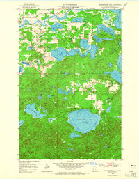
1953 Map of Siseebakwet Lake
USGS Topo · Published 1955About this map
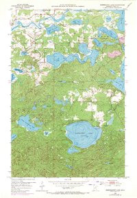
Siseebakwet Lake and the winding course of the Mississippi River anchor this mid-century look at the Iron Range region. The landscape is defined by its complex hydrology, with numerous named bodies of water like Rice Lake, Jay Gould Lake, and Little Siseebakwet Lake connected by networks such as Rice Creek and Sugar Brook. Cultural development is concentrated near the eastern shores of the larger lakes, where the Fish Hatchery and Otis Lodge Landing Field represent the area's specialized local infrastructure. Small-scale industry is evidenced by a Gravel Pit located near Bass Brook, while the Community Hall stands as a focal point for the rural population. The survey, conducted for the State of Minnesota Iron Range Resources and Rehabilitation Commission, reflects an era when these waters and small aviation fields were critical to the regional economy and recreational access.
Find a feature on this map
33 named features on this map. Tap any name to fly to it.
Don’t see what you’re looking for? This feature index may not catch every label — zoom into the map to look around manually.
Map Details
Editions of this 1953 Siseebakwet Lake Map
3 editions found
Other maps of this area

1953 · Cohasset East
USGS Topo · 1:24,000

1953 · Cohasset West
USGS Topo · 1:24,000

1953 · Grand Rapids
USGS Topo · 1:24,000

1954 · Hibbing
USGS Topo · 1:250,000

1957 · Hibbing
USGS Topo · 1:250,000

1958 · Hibbing
USGS Topo · 1:250,000

1964 · Hibbing
USGS Topo · 1:250,000

1970 · Big Thunder Peak
USGS Topo · 1:24,000
1970 · Mountain Ash Lake
USGS Topo · 1:24,000
1970 · Deer River
USGS Topo · 1:24,000