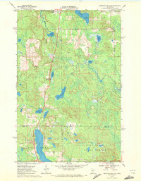
1970 Map of Mountain Ash Lake
USGS Topo · Published 1972About this map
Hill River State Forest dominates the southern landscape of this 1970 survey, revealing a Northwoods environment defined by its interconnected hydrology and glacial depressions. The terrain transition is marked by the Itasca Co Aitkin Co boundary, where large bodies of water like Hill Lake and Mountain Ash Lake are interspersed with smaller named features such as Dinner Pail Lake and Previs Lake.
Find a feature on this map
22 named features on this map. Tap any name to fly to it.
Don’t see what you’re looking for? This feature index may not catch every label — zoom into the map to look around manually.
Map Details
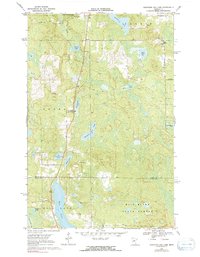
Editions of this 1970 Mountain Ash Lake Map
2 editions found
Other maps of this area

1953 · Siseebakwet Lake
USGS Topo · 1:24,000

1953 · Grand Rapids
USGS Topo · 1:24,000

1953 · Duluth
USGS Topo · 1:250,000

1954 · Hibbing
USGS Topo · 1:250,000

1957 · Hibbing
USGS Topo · 1:250,000

1958 · Hibbing
USGS Topo · 1:250,000

1958 · Duluth
USGS Topo · 1:250,000

1964 · Hibbing
USGS Topo · 1:250,000

1969 · La Prairie
USGS Topo · 1:24,000

1970 · Split Hand Lake
USGS Topo · 1:24,000