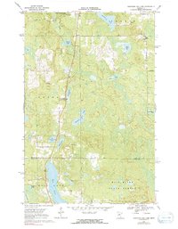
1970 Map of Mountain Ash Lake
USGS Topo · Published 1991About this map
Hill River State Forest covers a significant portion of this northern Minnesota landscape, where the boundary between Itasca and Aitkin Counties cuts through a dense network of water bodies and wetlands. The terrain is characterized by a high concentration of named lakes, including the central Mountain Ash Lake and the elongated Hill Lake to the south. Transportation in the 1960s and 1970s relied on a mix of primary roads and traditional routes like the Winter Trail in the northwest corner, which avoids the many marshy lowlands surrounding Smith Creek. Small-scale industrial activity is evidenced by scattered Gravel Pits and a Sandpit, while the presence of a Roadside Park near Hennessey Lake indicates the area's role in local recreation and travel. The map provides a detailed view of the shoreline and bathymetry for several lakes, compiled from Minnesota Department of Conservation charts.
Find a feature on this map
22 named features on this map. Tap any name to fly to it.
Don’t see what you’re looking for? This feature index may not catch every label — zoom into the map to look around manually.
Map Details
Editions of this 1970 Mountain Ash Lake Map
2 editions found
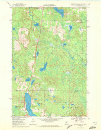
Other maps of this area

1953 · Siseebakwet Lake
USGS Topo · 1:24,000

1953 · Grand Rapids
USGS Topo · 1:24,000

1953 · Duluth
USGS Topo · 1:250,000

1954 · Hibbing
USGS Topo · 1:250,000

1957 · Hibbing
USGS Topo · 1:250,000

1958 · Hibbing
USGS Topo · 1:250,000

1958 · Duluth
USGS Topo · 1:250,000

1964 · Hibbing
USGS Topo · 1:250,000

1969 · La Prairie
USGS Topo · 1:24,000

1970 · Split Hand Lake
USGS Topo · 1:24,000