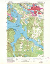
1953 Map of Grand Rapids
USGS Topo · Published 1971About this map
The Mississippi River winds through the heart of Grand Rapids, where the industrial and civic center of Itasca County is on display. Industrial activity is centered around the Paper Mill Reservoir, while the Burlington Northern railroad corridor facilitates regional transport. The town’s social infrastructure is well-established, featuring the Courthouse, High Sch, and the County Home near Crystal Lake.
Find a feature on this map
54 named features on this map. Tap any name to fly to it.
Don’t see what you’re looking for? This feature index may not catch every label — zoom into the map to look around manually.
Map Details
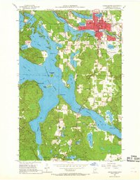
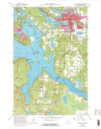
Editions of this 1953 Grand Rapids Map
4 editions found
Other maps of this area

1920 · Trout Lake
USGS Topo · 1:62,500

1952 · Bovey
USGS Topo · 1:24,000

1953 · Cohasset East
USGS Topo · 1:24,000

1953 · Siseebakwet Lake
USGS Topo · 1:24,000

1953 · Cohasset West
USGS Topo · 1:24,000

1953 · Grand Rapids
USGS Topo · 1:24,000

1954 · Hibbing
USGS Topo · 1:250,000

1957 · Hibbing
USGS Topo · 1:250,000

1958 · Hibbing
USGS Topo · 1:250,000

1964 · Hibbing
USGS Topo · 1:250,000
Featured Places
- Grand Rapids, MN
- Cohasset, MN
- La Prairie, MN
- Wagon Wheel Mobile Home Park, Grand Rapids
- Acheson Mobile Home Village, La Prairie