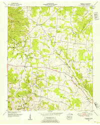
1950 Map of Deerfield
USGS Topo · Published 1954About this map
Deerfield sits at a crossroads in Lawrence County, Tennessee, during this mid-century period of rural development. The landscape is defined by the headwaters of the Little Buffalo River and its numerous tributaries like Crowson Creek and Cane Creek, which carve out a series of hollows including Bradley Hollow and Shepherd Hollow. The Tennessee Valley Authority's influence is evident in the detailed surveying of the area's complex drainage network and shifting elevations.
Find a feature on this map
47 named features on this map. Tap any name to fly to it.
Don’t see what you’re looking for? This feature index may not catch every label — zoom into the map to look around manually.
Map Details
Editions of this 1950 Deerfield Map
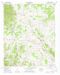
2 editions found
Other maps of this area

1905 · Waynesboro
USGS Topo · 1:125,000

1936 · Riverside
USGS Topo · 1:24,000

1936 · Westpoint
USGS Topo · 1:24,000

1936 · Deerfield
USGS Topo · 1:24,000

1936 · Henryville
USGS Topo · 1:24,000

1936 · Lawrenceburg
USGS Topo · 1:24,000

1936 · Ethridge
USGS Topo · 1:24,000

1936 · Long Branch
USGS Topo · 1:24,000

1936 · Crestview
USGS Topo · 1:24,000

1936 · Ovilla
USGS Topo · 1:24,000