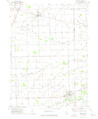
1972 Map of Deerfield
USGS Topo · Published 1975About this map
The Raisin River and its tributary, the Little Raisin River, dictate the geography of this rural corner of Lenawee and Monroe counties in the early 1970s. The village of Deerfield sits at a strategic junction where the Penn Central line crosses the water, serving as a local hub for the surrounding agricultural community. Further north, the settlement of Britton marks the crossing of the Norfolk and Western railroad and the Britton highway.
Find a feature on this map
63 named features on this map. Tap any name to fly to it.
Don’t see what you’re looking for? This feature index may not catch every label — zoom into the map to look around manually.
Map Details
Editions of this 1972 Deerfield Map
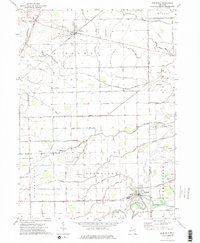
2 editions found
Other maps of this area

1902 · Ypsilanti
USGS Topo · 1:62,500

1904 · Ann Arbor
USGS Topo · 1:125,000

1906 · Ypsilanti
USGS Topo · 1:62,500

1906 · Saline
USGS Topo · 1:62,500

1908 · Ann Arbor
USGS Topo · 1:125,000

1912 · Dundee
USGS Topo · 1:62,500

1926 · Dundee
USGS Topo · 1:62,500

1939 · Blissfield
USGS Topo · 1:62,500
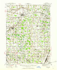
1939 · Dundee
USGS Topo · 1:62,500
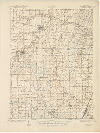
1940 · Dundee
USGS Topo · 1:62,500