
1939 Map of Deerfield
USGS Topo · Published 1953About this map
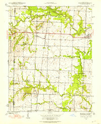
The Marmaton River flows across the northern landscape of this Vernon County region, defining a topography of fertile bottomlands and rising hills such as Vetters Hill and Vergil Mound. In 1939, this rural landscape was densely dotted with neighborhood schoolhouses, including Lone Elm Sch, Sunny Slope Sch, and McHugh Sch, reflecting a decentralized community structure before later school consolidations. The intersection of major rail lines shaped the local economy and settlement patterns, with the Kansas City Southern and Missouri Kansas Texas railroads serving towns like Deerfield, Eve, and Swart. These rail corridors were vital for transporting agricultural goods and connecting these small Missouri communities to larger regional markets, while smaller settlements like Bunnville provided local hubs for residents along the primary road network.
Find a feature on this map
38 named features on this map. Tap any name to fly to it.
Don’t see what you’re looking for? This feature index may not catch every label — zoom into the map to look around manually.
Map Details
Editions of this 1939 Deerfield Map
3 editions found
Other maps of this area

1884 · Fort Scott
USGS Topo · 1:125,000

1886 · Nevada
USGS Topo · 1:125,000

1886 · Fort Scott
USGS Topo · 1:125,000

1893 · Fort Scott
USGS Topo · 1:125,000

1894 · Nevada
USGS Topo · 1:125,000

1938 · Metz
USGS Topo · 1:24,000

1939 · Metz
USGS Topo · 1:24,000

1939 · Moundville
USGS Topo · 1:24,000

1942 · Richards
USGS Topo · 1:24,000

1942 · Deerfield
USGS Topo · 1:24,000