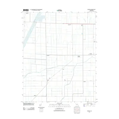
2012 Map of Deering
USGS Topo · Published 2012About this map
Deering and the surrounding agricultural landscape of Pemiscot County are defined by an extensive network of drainage channels and irrigation ditches, essential for managing the low-lying terrain of the Missouri Bootheel. The map reveals a highly structured grid of county roads and highways that connect small, dispersed communities such as Bakerville, Gobler, and Oakville. This geometric organization of the land reflects a deep history of land reclamation and intensive farming.
Find a feature on this map
44 named features on this map. Tap any name to fly to it.
Don’t see what you’re looking for? This feature index may not catch every label — zoom into the map to look around manually.
Map Details
Editions of this 2012 Deering Map
This is the sole edition of this map. No revisions or reprints were ever made.
Other maps of this area

1934 · Kennett
USGS Topo · 1:62,500

1940 · Pascola
USGS Topo · 1:62,500

1940 · Kennett
USGS Topo · 1:62,500

1940 · Hayti
USGS Topo · 1:62,500

1940 · Piggott
USGS Topo · 1:62,500

1955 · Pascola
USGS Topo · 1:62,500

1955 · Hayti
USGS Topo · 1:62,500

1956 · Kennett
USGS Topo · 1:62,500

1956 · Piggott
USGS Topo · 1:62,500

1956 · Dyersburg
USGS Topo · 1:250,000