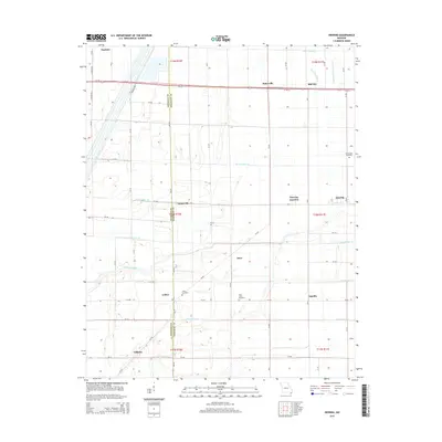
2015 Map of Deering
USGS Topo · Published 2015About this map
The Dunklin Co Pemiscot Co boundary bisects this agricultural landscape in the Missouri Bootheel, where the intricate network of the Little River Drainage District dominates the terrain. This drainage system, including Elk Chute Ditch, Ditch Number 76, and N Deering Ditch, illustrates the massive engineering effort required to reclaim the region's swamplands for cultivation. Small, linear settlements like Tinkerville, Gobler, and Bakerville follow the section lines and road grids that define the area's development.
Find a feature on this map
64 named features on this map. Tap any name to fly to it.
Don’t see what you’re looking for? This feature index may not catch every label — zoom into the map to look around manually.
Map Details
Editions of this 2015 Deering Map
This is the sole edition of this map. No revisions or reprints were ever made.
Other maps of this area

1934 · Kennett
USGS Topo · 1:62,500

1940 · Pascola
USGS Topo · 1:62,500

1940 · Kennett
USGS Topo · 1:62,500

1940 · Hayti
USGS Topo · 1:62,500

1940 · Piggott
USGS Topo · 1:62,500

1955 · Pascola
USGS Topo · 1:62,500

1955 · Hayti
USGS Topo · 1:62,500

1956 · Kennett
USGS Topo · 1:62,500

1956 · Piggott
USGS Topo · 1:62,500

1956 · Dyersburg
USGS Topo · 1:250,000