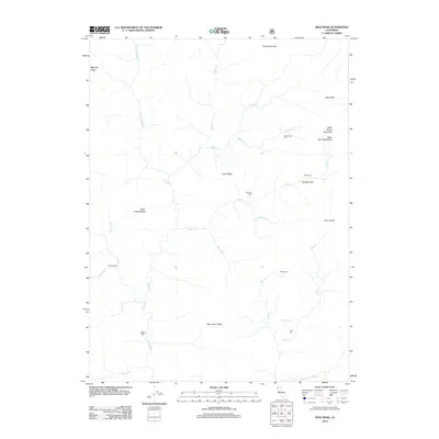
2012 Map of Dees Peak
USGS Topo · Published 2012About this map
Old Denny and the former sites of White Rock City and Lake City anchor this map of a remote mountain landscape in the Trinity Alps region. The terrain is defined by steep ridges and deep drainages, including Megram Ridge and Bake Oven Ridge, which separate the various forks of the New River and Eagle Cr. The geography suggests a history of high-altitude habitation and seasonal use, evidenced by the distribution of remote outposts like Emmons Cabin, Barritt Cabin, and Megram Cabin.
Find a feature on this map
34 named features on this map. Tap any name to fly to it.
Don’t see what you’re looking for? This feature index may not catch every label — zoom into the map to look around manually.
Map Details
Editions of this 2012 Dees Peak Map
This is the sole edition of this map. No revisions or reprints were ever made.
Other maps of this area

1909 · Big Bar
USGS Topo · 1:96,000

1915 · Big Bar and Vicinity
USGS Topo · 1:250,000

1948 · Weed
USGS Topo · 1:250,000

1950 · Weed
USGS Topo · 1:250,000

1951 · Helena
USGS Topo · 1:62,500

1951 · Ironside Mountain
USGS Topo · 1:62,500

1955 · Salmon Mtn
USGS Topo · 1:62,500

1955 · Cecilville
USGS Topo · 1:62,500

1958 · Redding
USGS Topo · 1:250,000

1958 · Weed
USGS Topo · 1:250,000