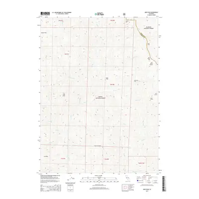
2015 Map of Dees Peak
USGS Topo · Published 2015About this map
Dees Peak and the surrounding high country define this section of the Salmon-Trinity Alps, where the boundaries of the Klamath National Forest and Trinity National Forest meet. The landscape is characterized by prominent ridges such as Carey Ridge and Bake Oven Ridge, which separate numerous seasonal and perennial watercourses. Named landmarks often reflect local figures and pioneer-era topography, seen in Mary Blaine Mtn and its associated Mary Blaine Meadow in the northeast. The complex drainage network includes the headwaters of the New River and its E Fork New River, which flow through a region marked by isolated peaks like Virgin Creek Buttes and Pony Buttes. This interior forest land remains largely defined by its natural features rather than permanent settlements, featuring vital water sources like Turney Spring.
Find a feature on this map
38 named features on this map. Tap any name to fly to it.
Don’t see what you’re looking for? This feature index may not catch every label — zoom into the map to look around manually.
Map Details
Editions of this 2015 Dees Peak Map
This is the sole edition of this map. No revisions or reprints were ever made.
Other maps of this area

1909 · Big Bar
USGS Topo · 1:96,000

1915 · Big Bar and Vicinity
USGS Topo · 1:250,000

1948 · Weed
USGS Topo · 1:250,000

1950 · Weed
USGS Topo · 1:250,000

1951 · Helena
USGS Topo · 1:62,500

1951 · Ironside Mountain
USGS Topo · 1:62,500

1955 · Salmon Mtn
USGS Topo · 1:62,500

1955 · Cecilville
USGS Topo · 1:62,500

1958 · Redding
USGS Topo · 1:250,000

1958 · Weed
USGS Topo · 1:250,000