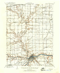
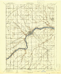
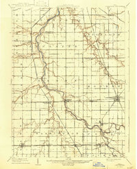
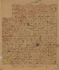
1907 Map of Defiance
USGS Topo · Published 1960About this map
The confluence of the Maumee River and the Auglaize River at Defiance forms the primary geographic focus of this early twentieth-century landscape. The city is depicted as a vital transportation nexus, where the Miami and Erie Canal meets a dense network of iron rails including the Wabash Railroad and the Baltimore and Ohio Railroad. This infrastructure highlights the transition from nineteenth-century waterborne commerce to the peak of the industrial rail era.
Find a feature on this map
37 named features on this map. Tap any name to fly to it.
Don’t see what you’re looking for? This feature index may not catch every label — zoom into the map to look around manually.
Map Details
Editions of this 1907 Defiance Map
This is the sole edition of this map. No revisions or reprints were ever made.
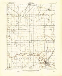
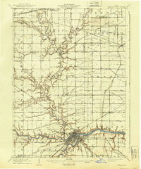
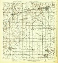
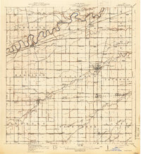
Other maps of this area
1908 · Ottawa
USGS Topo · 1:62,500
1908 · Napoleon
USGS Topo · 1:62,500
1909 · Defiance
USGS Topo · 1:62,500
1909 · Continental
USGS Topo · 1:62,500
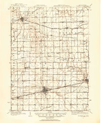
1911 · Wauseon
USGS Topo · 1:62,500
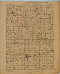
1913 · Wauseon
USGS Topo · 1:62,500
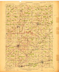
1913 · Alvordton
USGS Topo · 1:62,500
1914 · Pioneer
USGS Topo · 1:62,500
1914 · Bryan
USGS Topo · 1:62,500
1914 · Paulding
USGS Topo · 1:62,500
Featured Places
- Defiance, OH
- Archbold, OH
- Stryker, Springfield Township
- Hickory Hills, Springfield Township
- Promised Land Subdivision, Springfield Township